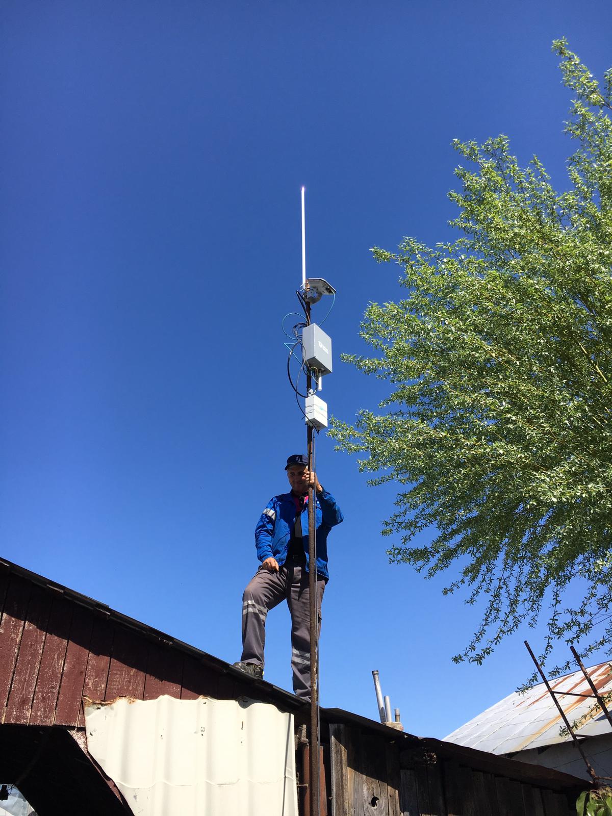
HiberHilo is made up of a few key parts. Sensors plug directly into your wells or pipelines, and gather data from your asset. Then, they transmit that data via a LoRaWAN signal to a centrally-located gateway. This gateway beams the well or pipeline data up to satellites, which then send data directly to your online dashboard.
In an ideal world, there would be a direct line of sight between the sensor and the gateway. But, that isn’t always the case. Hills can completely block the signal. And heavy tree canopies can weaken it.
Luckily though, we’ve installed HiberHilo in some of the most remote and rugged places on the planet. Including places like Appalachia in the eastern United States, where there are hills as far as the eye can see, but HiberHilo’s regular data collection is helping our customer meet new regulatory requirements. And Papua New Guinea in the southwestern Pacific, where trees and jungle block the line of sight, but HiberHilo’s lightweight and easy installation means the crew doesn’t have to go out and visit the wells individually.
In every case, we’ve used clever planning to figure out how to adapt the HiberHilo setup to the local environment. And, in every case, HiberHilo is still out there, quietly collecting data and delivering insights to teams.
Read on to learn more about how we approach hilly areas and canopy-covered forests.